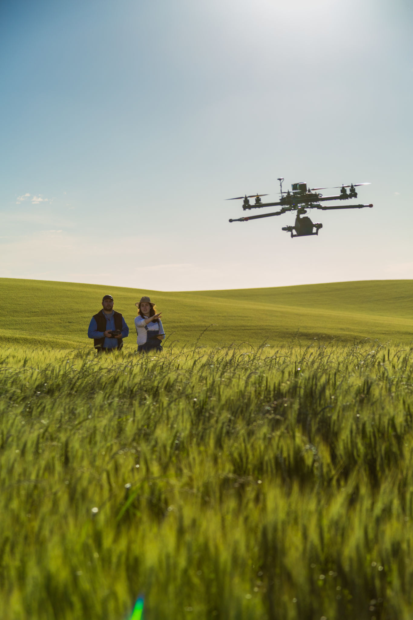
Navigating California’s Drone Regulations for Aerial Filming and Surveys
Understanding California's Drone Regulations
With the rise of drone technology, California has become a hub for aerial filming and surveys. However, navigating the state's drone regulations can be challenging for operators eager to capture the stunning landscapes or conduct detailed surveys. Ensuring compliance with these rules is critical to avoid potential fines and legal issues.

Federal vs. State Regulations
When flying a drone in California, it's essential to recognize the dual layer of regulation: federal and state. The Federal Aviation Administration (FAA) governs the airspace nationwide, setting rules that apply to all drone operators. At the same time, California has its own set of laws addressing privacy and specific land use concerns. It is crucial to adhere to both federal and state guidelines to ensure lawful operation.
Essential Federal Guidelines
The FAA requires that all drones used for commercial purposes, including filming and surveying, be registered. Operators must also obtain a Remote Pilot Certificate, which involves passing an aeronautical knowledge test. Additionally, drones must be flown below 400 feet and remain within the operator's line of sight. Adhering to these guidelines is foundational for any drone operation.

California's Specific Rules
While the FAA sets broad guidelines, California enforces additional rules that focus primarily on privacy and public safety. For instance, California's Civil Code prohibits drone flights over private property without consent. This regulation aims to protect citizens' privacy and prevent unauthorized surveillance.
Filming in Protected Areas
California is home to numerous national parks and protected areas, which often have restrictions on drone usage. Drones are generally prohibited from flying in these areas without special permits. When planning drone operations in such locations, it's vital to check local regulations and obtain any necessary permissions well in advance.

Municipal Regulations
In addition to state laws, several municipalities in California have enacted their own drone regulations. These can include specific no-fly zones, altitude restrictions, or even complete bans on drone operations in certain areas. Drone operators should research local ordinances in their area of operation to ensure compliance with all applicable rules.
Best Practices for Compliance
To successfully navigate California's drone regulations, operators should follow a set of best practices. Firstly, staying informed about the latest changes in both federal and state legislation is paramount. Subscribing to updates from the FAA and local authorities can help keep operators aware of new requirements.
Planning and Permissions
Before any aerial filming or survey project, conducting thorough planning sessions is beneficial. This includes mapping out flight paths, understanding any airspace restrictions, and securing required permissions or permits. By proactively addressing these aspects, operators can prevent potential legal complications.
Utilizing Technology for Compliance
Leveraging technology can also aid in compliance efforts. Many drones are equipped with geofencing capabilities that prevent them from entering restricted airspace. Additionally, using apps that provide real-time airspace information can help operators make informed decisions during flights.

In conclusion, while navigating California's drone regulations can be complex, understanding and adhering to both federal and state rules is essential for successful aerial filming and surveys. By staying informed and prepared, drone operators can enjoy the benefits of this technology while avoiding legal pitfalls.
