Seasonal Drone Services: Preparing for Optimal Aerial Mapping in California
MN
Understanding the Importance of Seasonal Drone Services
In California, the demand for aerial mapping services has seen a significant rise, especially with advancements in drone technology. These drones provide a bird’s-eye view that is invaluable for various industries, including agriculture, real estate, and construction. As seasons change, so do the needs for aerial mapping, making seasonal drone services an essential aspect of efficient operations.
Seasonal changes can drastically affect the landscape and environmental conditions, influencing how aerial mapping is conducted. Understanding these variations is crucial for businesses to plan and execute their projects effectively. Whether it's capturing the lush greenery of spring or the stark landscapes of winter, drones offer precise and comprehensive data collection.
Preparing for Seasonal Changes in Aerial Mapping
Preparation is key when it comes to adapting drone services to seasonal changes in California. The state's diverse climate zones mean that businesses need to be ready to adjust their strategies accordingly. Here are some crucial steps to consider:
- Assess Seasonal Needs: Determine what specific data or imagery is required for each season.
- Update Equipment: Ensure that drones are equipped with the necessary technology to handle different weather conditions.
- Plan Flight Paths: Adapt flight paths to accommodate seasonal obstacles such as increased foliage or snow cover.
By taking these steps, businesses can ensure they are capturing the most accurate and useful data throughout the year.
Technological Advances in Drone Mapping
The technology behind drones is constantly evolving, offering new tools and capabilities that enhance seasonal mapping efforts. Innovations like LiDAR sensors and thermal imaging cameras allow drones to capture detailed data even in challenging conditions like fog or low light. These advancements provide businesses with more comprehensive insights into their projects.
Moreover, improved battery life and weather-resistant designs mean drones can operate longer and more reliably in different weather conditions. This is particularly important during California's rainy season when extended flight times are often required to gather complete datasets.
Industry-Specific Applications of Seasonal Drone Services
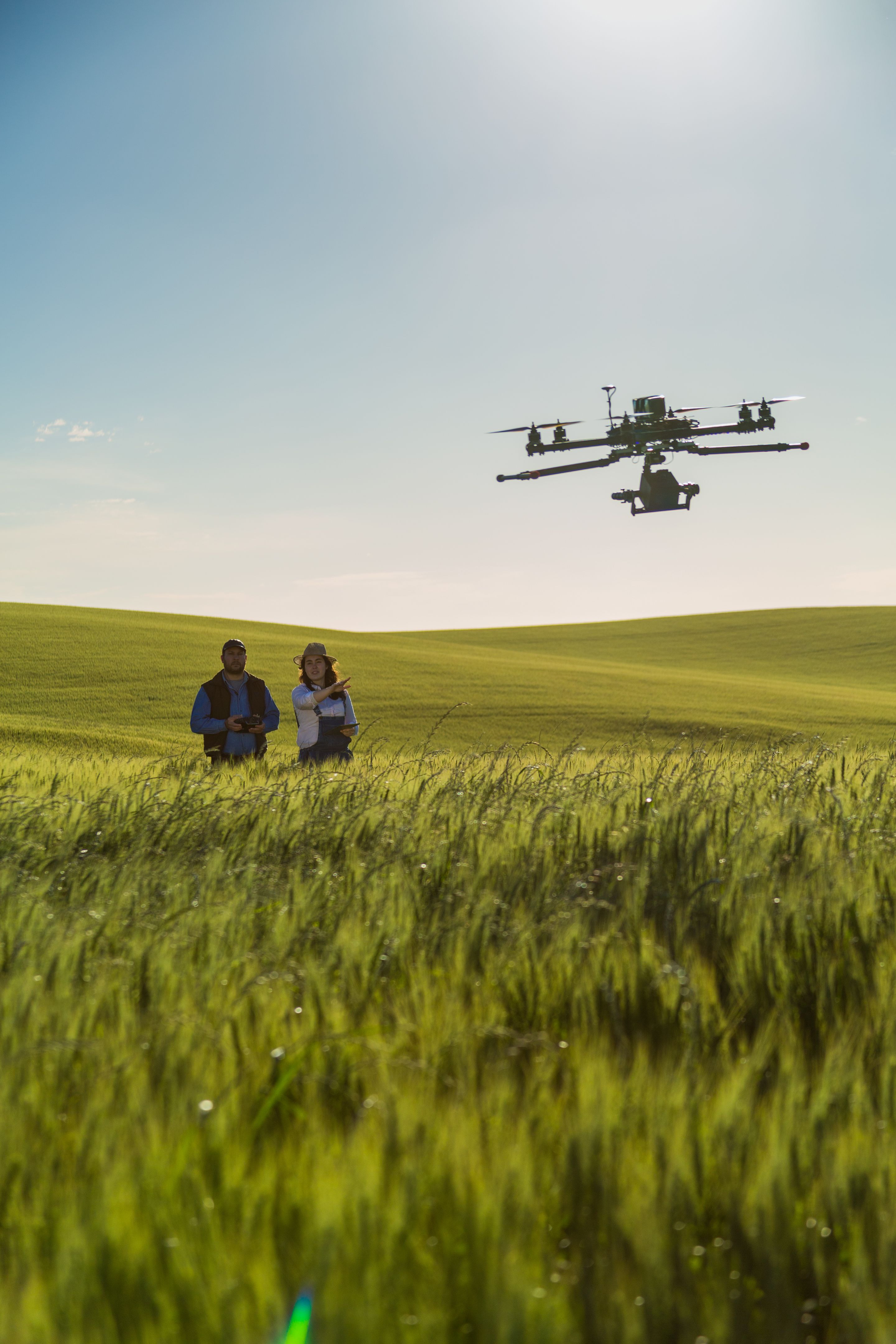
Different industries benefit uniquely from seasonal drone mapping services. In agriculture, drones help monitor crop health and growth patterns across different seasons, providing farmers with actionable insights to improve yield. Real estate developers can showcase properties in their best light by capturing seasonal changes that highlight natural beauty.
The construction industry uses drones to monitor progress and ensure safety standards across varying weather conditions. By integrating drones into their seasonal workflows, these industries can optimize operations and achieve better results.

Regulatory Considerations for Seasonal Drone Operations
Navigating the regulatory landscape is another crucial aspect of seasonal drone services in California. It's essential for drone operators to stay updated with FAA regulations and acquire necessary permits, especially when adjusting to seasonal changes that might affect airspace usage.
Compliance ensures that operations are conducted safely and legally, minimizing risks associated with unauthorized flights. By understanding and adhering to these regulations, businesses can focus on leveraging drone technology to its fullest potential.
The Future of Seasonal Drone Services in California
As technology continues to advance, the future of seasonal drone services looks promising. We can expect further developments in AI-driven data analysis and real-time mapping capabilities. These innovations will enhance decision-making processes across industries, making them more efficient and sustainable.
Embracing these changes will enable California businesses to stay ahead of the curve, harnessing the full potential of drones for optimal aerial mapping throughout the year.