
Success Stories: How DroneWorks Revolutionized Mapping for Local Businesses
MN
The Rise of DroneWorks in Local Business Mapping
DroneWorks has emerged as a game-changer in the field of mapping and surveying for local businesses. By integrating cutting-edge drone technology, they have transformed how businesses analyze and utilize geographical data. This innovation not only enhances efficiency but also provides highly accurate results, propelling local enterprises towards greater success.
Why Drones? The Technological Edge
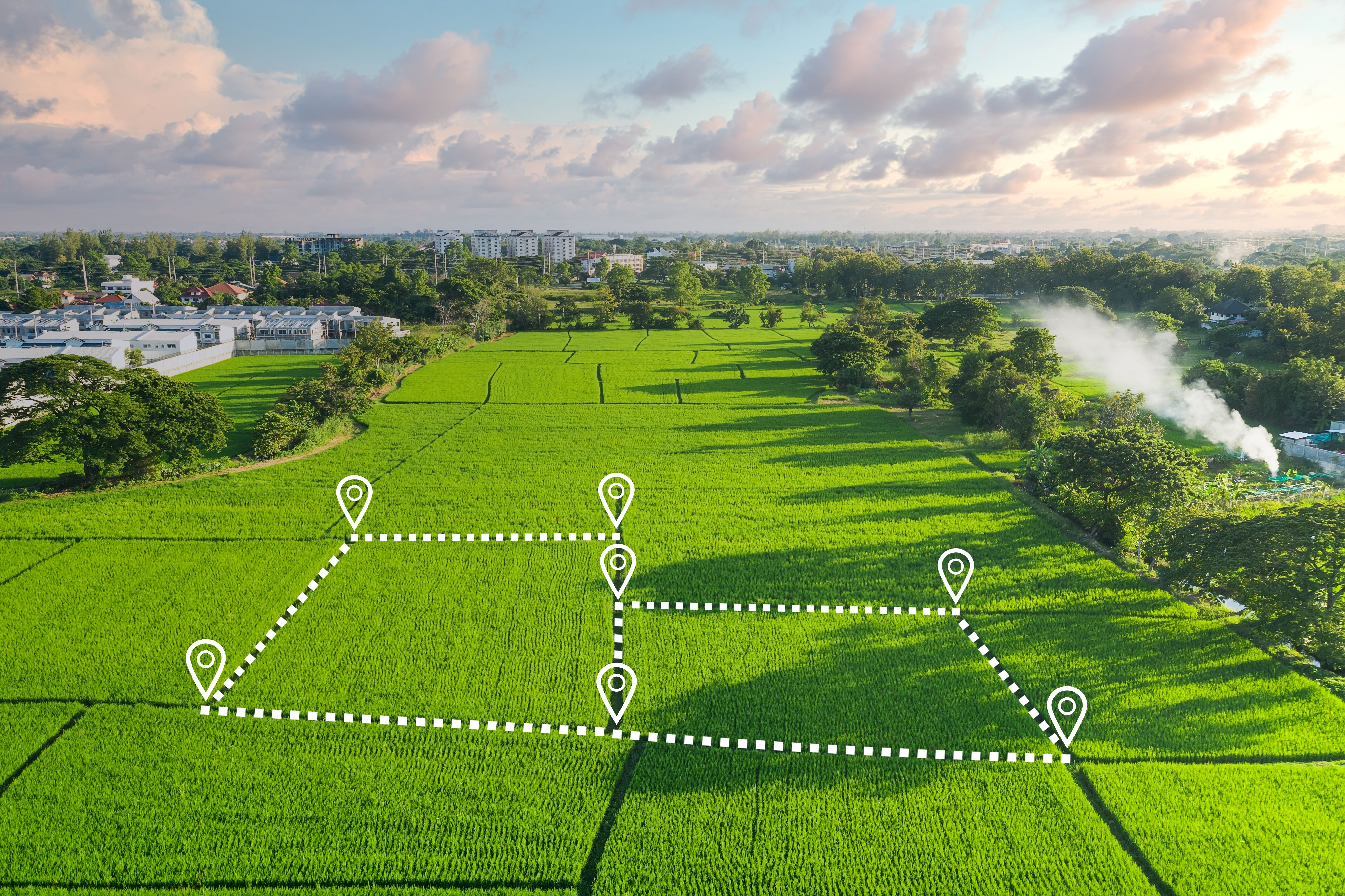
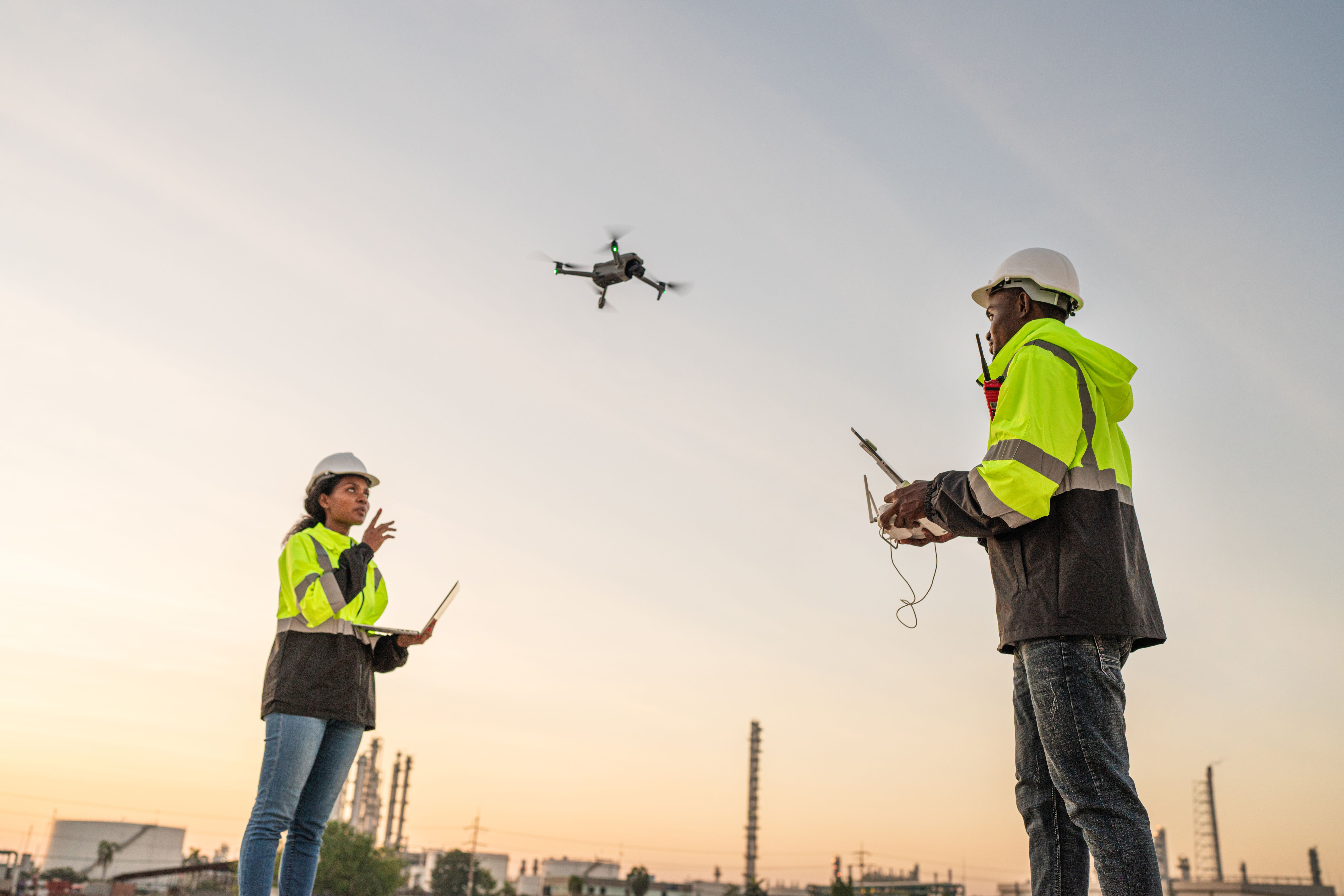
The use of drones in mapping offers numerous advantages over traditional methods. Drones provide a bird's-eye view, capturing detailed images and data quickly and efficiently. This capability allows businesses to make informed decisions based on precise, real-time information. With drones, companies can survey large areas in a fraction of the time it would take using conventional techniques.
Moreover, the data collected by drones can be processed to create 3D models and maps, offering businesses an immersive understanding of their projects. This technological edge not only saves time but also reduces costs and enhances the accuracy of the information gathered.
Success Stories: Local Businesses Reaping the Benefits
Several local businesses have harnessed the power of DroneWorks' technology to achieve remarkable results. For instance, a construction company was able to cut project planning time in half by utilizing drone-generated maps. This efficiency allowed them to allocate resources more effectively and meet project deadlines with ease.
Similarly, a real estate firm leveraged drone mapping to showcase properties in a new light. High-resolution aerial imagery provided potential buyers with a comprehensive view of properties and their surroundings, enhancing the buying experience and boosting sales.
Environmental and Safety Considerations
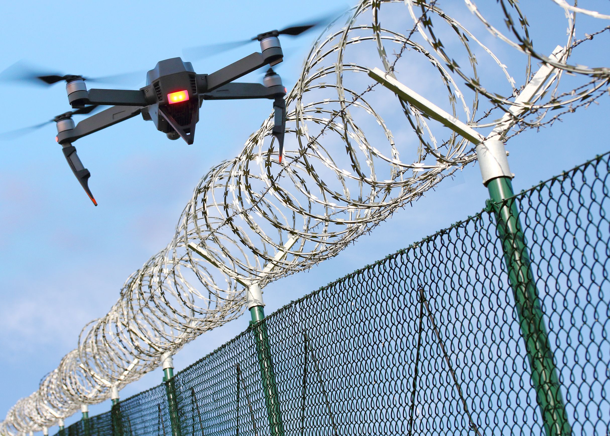
DroneWorks is committed to sustainability and safety. By reducing the need for heavy machinery and manual surveying, drones minimize environmental impact. Additionally, drones can access hazardous areas without putting human lives at risk, ensuring safety while gathering crucial data.
This commitment to environmental responsibility and safety has made DroneWorks a preferred partner for many businesses seeking to adopt more sustainable practices.
The Future of Mapping with DroneWorks
As technology continues to evolve, DroneWorks remains at the forefront of innovation. They are constantly exploring new applications for drone technology, from disaster management to urban planning. Their vision is to expand the possibilities of what drones can achieve for businesses across diverse sectors.
With their forward-thinking approach and dedication to excellence, DroneWorks is poised to lead the way in the future of mapping and geographical analysis.
Conclusion
DroneWorks' revolutionary approach to mapping has empowered local businesses with tools that were once considered futuristic. By embracing drone technology, these businesses have unlocked new levels of efficiency and accuracy. As DroneWorks continues to innovate, their impact on the industry is set to grow even further, paving the way for a future where drones are integral to business success.