
Understanding Photogrammetry: Creating Accurate 3D Models and Topographic Maps
MN
What is Photogrammetry?
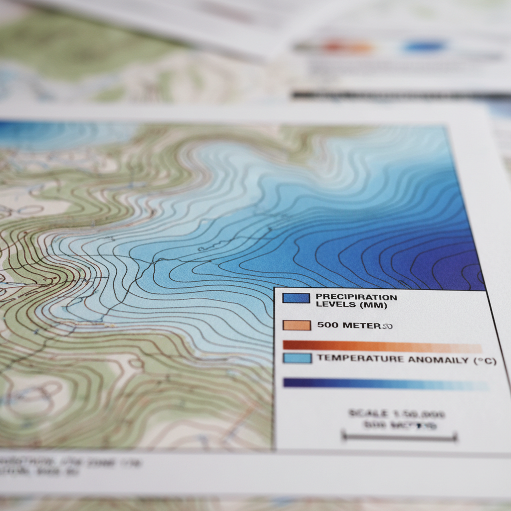
Photogrammetry is the art and science of using photographs to measure and extract precise data about physical objects and environments. This technique is widely used in various fields such as architecture, engineering, and geology. By analyzing multiple photographs taken from different angles, photogrammetry creates accurate 3D models and topographic maps.
The process involves capturing images from various perspectives and then using specialized software to stitch them together into a cohesive model. This allows for detailed analysis and visualization of the subject, providing valuable insights for professionals across different industries.
The Importance of Photogrammetry in Modern Applications
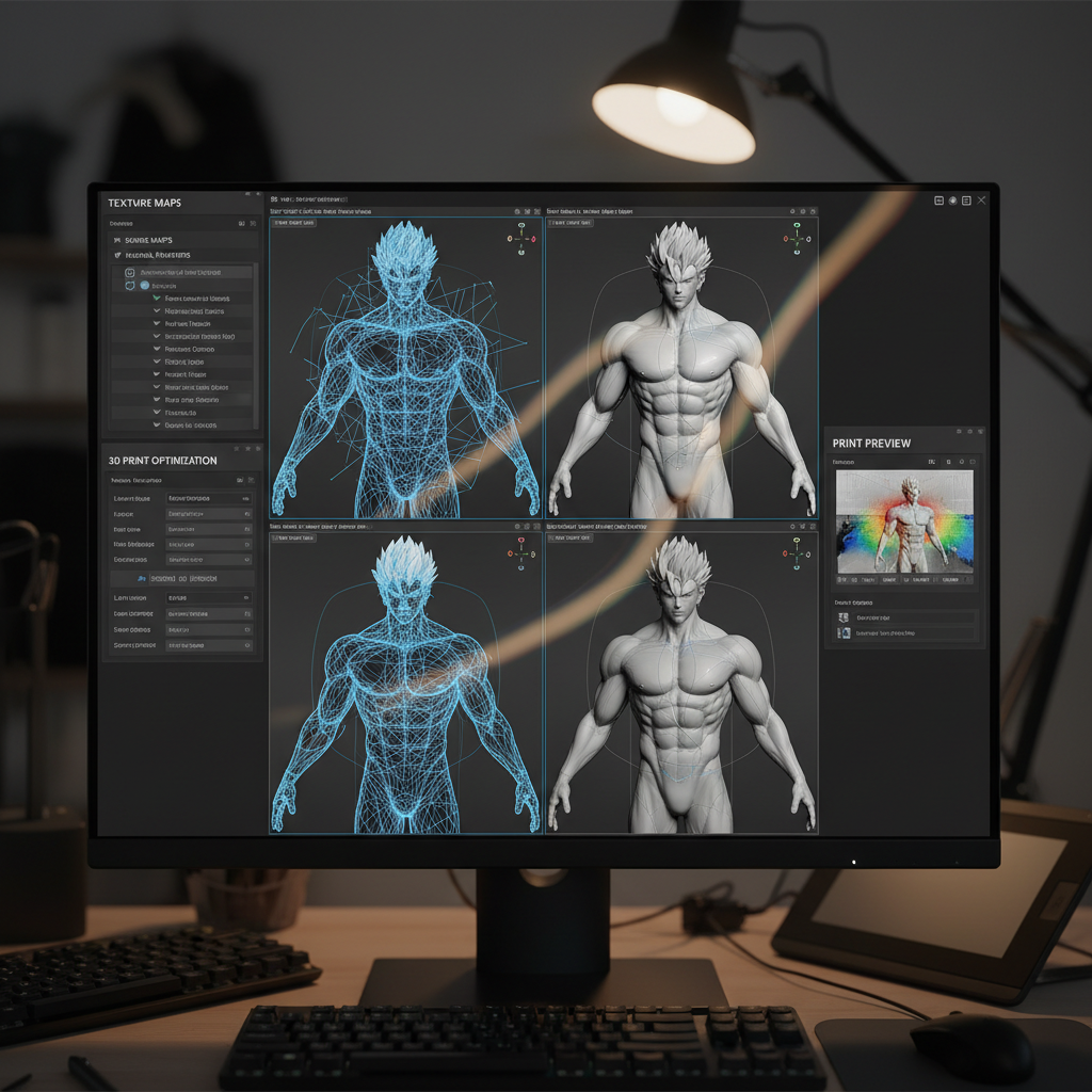
Photogrammetry is crucial in today's world due to its ability to provide precise and detailed spatial data. This information is essential for tasks such as urban planning, environmental monitoring, and disaster management. It helps professionals make informed decisions by offering accurate representations of landscapes and structures.
Moreover, photogrammetry is highly efficient and cost-effective. Compared to traditional surveying methods, it requires less time and manpower, making it an attractive option for many projects. The technology's ability to capture high-resolution images also ensures that the resulting models are rich in detail.
How Photogrammetry Works
The process of photogrammetry can be broken down into several key steps:
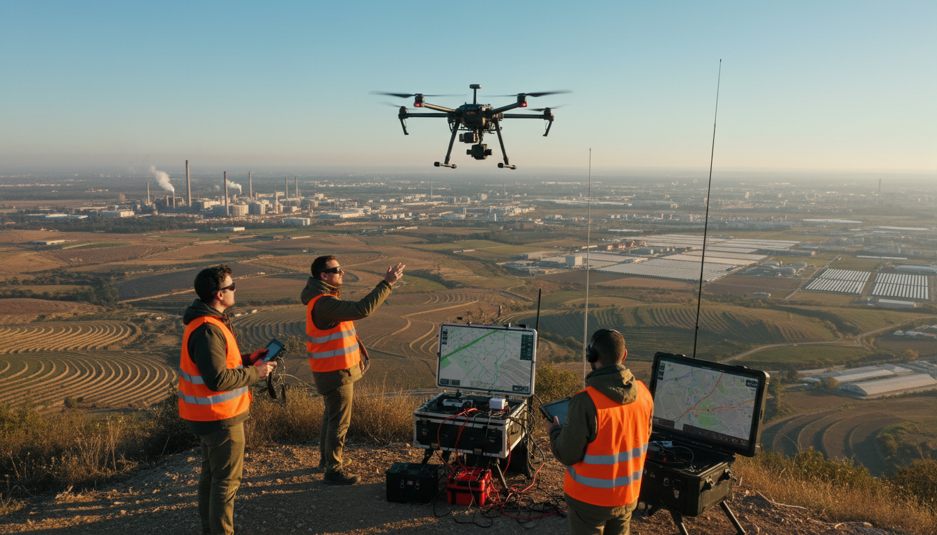
- Image Capture: Taking multiple photographs from different angles using drones, cameras, or satellites.
- Data Processing: Using software to align and analyze the images, creating a point cloud or mesh.
- Model Generation: Converting the processed data into a 3D model or map.
- Analysis and Application: Using the model for various applications, such as construction planning or archaeological studies.
By understanding these steps, professionals can better utilize photogrammetry to achieve accurate and reliable results.

Applications of Photogrammetry
Photogrammetry has found a home in numerous industries due to its versatility and accuracy. Here are some of the key applications:
- Construction and Architecture: Creating detailed site models for planning and design.
- Archaeology: Documenting and preserving historical sites with precision.
- Environmental Studies: Monitoring changes in landscapes and habitats.
- Agriculture: Mapping fields for crop analysis and management.
These applications demonstrate the wide-ranging impact of photogrammetry in various fields, showcasing its ability to transform how we visualize and understand the world around us.
Challenges and Future of Photogrammetry
While photogrammetry offers numerous benefits, it is not without its challenges. Factors such as lighting conditions, weather, and equipment quality can affect the accuracy of the results. Additionally, processing large amounts of data can be computationally intensive and require specialized software and expertise.
Despite these challenges, the future of photogrammetry looks promising. Advances in technology, such as improved camera sensors and more powerful software, continue to enhance the accuracy and efficiency of the process. As these innovations unfold, photogrammetry will likely become even more integral to various industries.